
Gazipur topographic map
Interactive map
Click on the map to display elevation.
About this map
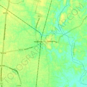
Name: Gazipur topographic map, elevation, terrain.
Location: Gazipur, Gazipur District, Dhaka Division, 1707, Bangladesh (23.95808 90.38298 24.03808 90.46298)
Average elevation: 33 ft
Minimum elevation: 0 ft
Maximum elevation: 52 ft