Lake Vasuki Tal topographic map
Interactive map
Click on the map to display elevation.
About this map
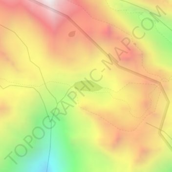
Name: Lake Vasuki Tal topographic map, elevation, terrain.
Average elevation: 14,117 ft
Minimum elevation: 11,673 ft
Maximum elevation: 16,096 ft

Click on the map to display elevation.
Name: Lake Vasuki Tal topographic map, elevation, terrain.
Average elevation: 14,117 ft
Minimum elevation: 11,673 ft
Maximum elevation: 16,096 ft