
Mashburn Mill topographic map
Interactive map
Click on the map to display elevation.
About this map
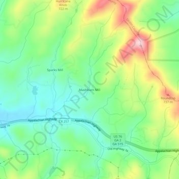
Name: Mashburn Mill topographic map, elevation, terrain.
Location: Mashburn Mill, Fannin County, Géorgie, États-Unis d'Amérique (34.87064 -84.15547 34.91064 -84.11547)
Average elevation: 2,047 ft
Minimum elevation: 1,749 ft
Maximum elevation: 2,582 ft