
Malham Tarn topographic map
Interactive map
Click on the map to display elevation.
About this map
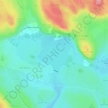
Name: Malham Tarn topographic map, elevation, terrain.
Average elevation: 1,322 ft
Minimum elevation: 1,211 ft
Maximum elevation: 1,598 ft
Other topographic maps
Click on a map to view its topography, its elevation and its terrain.
Haugh
Vereinigtes Königreich > England > Craven
Haugh, Craven, North Yorkshire, Yorkshire and the Humber, England, BD23 6DQ, Vereinigtes Königreich
Average elevation: 705 ft