
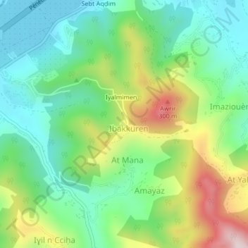
Agheggad n Bouzid topographic map
Interactive map
Click on the map to display elevation.
About this map
Name: Agheggad n Bouzid topographic map, elevation, terrain.
Location: Agheggad n Bouzid, Amizour, Daïra Amizour, Béjaïa, 06300, RADP (36.65228 4.92361 36.67228 4.94361)
Average elevation: 558 ft
Minimum elevation: 52 ft
Maximum elevation: 1,552 ft