
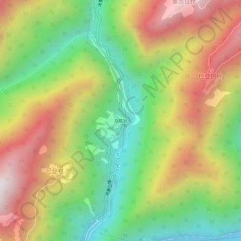
马尼翁 topographic map
Interactive map
Click on the map to display elevation.
About this map
Name: 马尼翁 topographic map, elevation, terrain.
Location: 马尼翁, 巴登村, 背崩乡, 墨脱县, 林芝市, 西藏自治区, 中国 (29.25522 95.14999 29.29522 95.18999)
Average elevation: 4,098 ft
Minimum elevation: 2,106 ft
Maximum elevation: 6,444 ft