
Spremberg topographic map
Interactive map
Click on the map to display elevation.
About this map
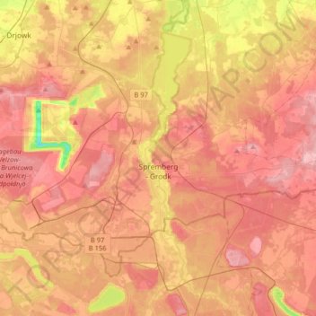
Name: Spremberg topographic map, elevation, terrain.
Location: Spremberg, Spree-Neiße, Brandebourg, 03130, Allemagne (51.50490 14.22727 51.65397 14.54769)
Average elevation: 377 ft
Minimum elevation: 89 ft
Maximum elevation: 528 ft