
Thiruvengadam topographic map
Interactive map
Click on the map to display elevation.
About this map
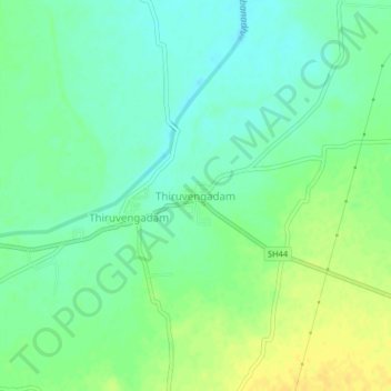
Name: Thiruvengadam topographic map, elevation, terrain.
Average elevation: 351 ft
Minimum elevation: 318 ft
Maximum elevation: 394 ft
Other topographic maps
Click on a map to view its topography, its elevation and its terrain.
Sankarankovil
India > Tamil Nadu > Sankarankoil
Sankarankovil, Sankarankoil, Tenkasi District, Tamil Nadu, 627756, India
Average elevation: 502 ft