
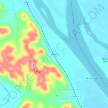
LaMotte topographic map
Interactive map
Click on the map to display elevation.
About this map
Name: LaMotte topographic map, elevation, terrain.
Location: LaMotte, Pike County, Missouri, 63433, États-Unis d'Amérique (39.54060 -91.19959 39.58060 -91.15959)
Average elevation: 541 ft
Minimum elevation: 446 ft
Maximum elevation: 830 ft