
Cihangir topographic map
Interactive map
Click on the map to display elevation.
About this map
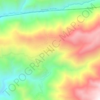
Name: Cihangir topographic map, elevation, terrain.
Location: Cihangir, Çemişgezek, Tunceli, Doğu Anadolu Bölgesi, Turquie (39.18178 38.78890 39.22178 38.82890)
Average elevation: 5,161 ft
Minimum elevation: 3,448 ft
Maximum elevation: 7,192 ft