
Sand Dunes topographic map
Interactive map
Click on the map to display elevation.
About this map
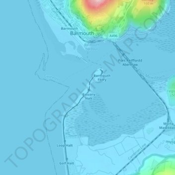
Name: Sand Dunes topographic map, elevation, terrain.
Location: Sand Dunes, Arthog, Barmouth, Gwynedd, Wales, United Kingdom (52.70966 -4.05598 52.71560 -4.04805)
Average elevation: 33 ft
Minimum elevation: -3 ft
Maximum elevation: 699 ft