
Kotwali topographic map
Interactive map
Click on the map to display elevation.
About this map
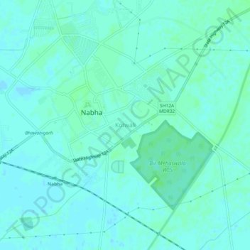
Name: Kotwali topographic map, elevation, terrain.
Location: Kotwali, Nabha Tahsil, Patiala District, Punjab, 147201, India (30.35195 76.13911 30.39195 76.17911)
Average elevation: 827 ft
Minimum elevation: 817 ft
Maximum elevation: 837 ft