
Elmodel topographic map
Interactive map
Click on the map to display elevation.
About this map
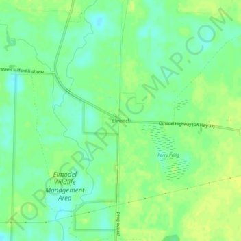
Name: Elmodel topographic map, elevation, terrain.
Location: Elmodel, Baker County, Georgia, United States (31.32573 -84.49241 31.36573 -84.45241)
Average elevation: 167 ft
Minimum elevation: 138 ft
Maximum elevation: 190 ft