
جزیره کیش topographic map
Interactive map
Click on the map to display elevation.
About this map
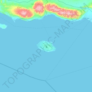
Name: جزیره کیش topographic map, elevation, terrain.
Average elevation: 148 ft
Minimum elevation: -7 ft
Maximum elevation: 2,654 ft
Other topographic maps
Click on a map to view its topography, its elevation and its terrain.
کیش
Iran > Hormozgan Province > کیش
کیش, بخش کیش, Bandar-e-Lengeh County, Hormozgan Province, Iran
Average elevation: 128 ft