
Jhamra topographic map
Interactive map
Click on the map to display elevation.
About this map
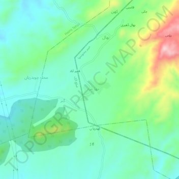
Name: Jhamra topographic map, elevation, terrain.
Location: Jhamra, Abbottābād District, Khyber Pakhtunkhwa, Pakistan (33.86515 72.60318 33.90515 72.64318)
Average elevation: 1,588 ft
Minimum elevation: 1,325 ft
Maximum elevation: 2,287 ft