
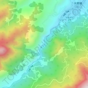
寿溪河 topographic map
Interactive map
Click on the map to display elevation.
About this map
Name: 寿溪河 topographic map, elevation, terrain.
Location: 寿溪河, 白石, 水磨镇, 汶川县, 阿坝藏族羌族自治州, 四川省, 中国 (30.89755 103.38249 30.93291 103.42055)
Average elevation: 3,940 ft
Minimum elevation: 2,969 ft
Maximum elevation: 5,863 ft