
Rheinfelden topographic map
Interactive map
Click on the map to display elevation.
About this map
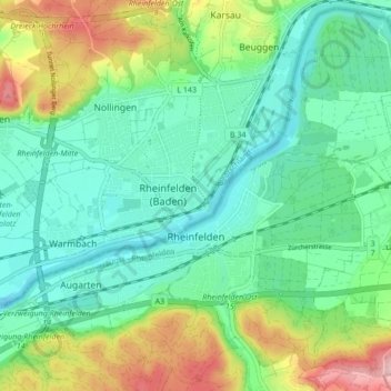
Name: Rheinfelden topographic map, elevation, terrain.
Location: Rheinfelden, Bezirk Rheinfelden, Argovie, 4310, Suisse (47.53272 7.75284 47.58801 7.83821)
Average elevation: 1,047 ft
Minimum elevation: 850 ft
Maximum elevation: 1,519 ft