
Ferreirim topographic map
Interactive map
Click on the map to display elevation.
About this map
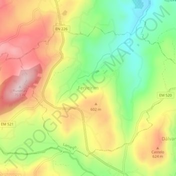
Name: Ferreirim topographic map, elevation, terrain.
Location: Ferreirim, Lamego, Viseu, Portugal (41.03376 -7.79719 41.05787 -7.75614)
Average elevation: 1,739 ft
Minimum elevation: 1,230 ft
Maximum elevation: 2,260 ft