
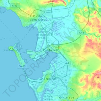
Puerto Real topographic map
Interactive map
Click on the map to display elevation.
About this map
Name: Puerto Real topographic map, elevation, terrain.
Location: Puerto Real, Cádiz, Andalucía, España (36.45579 -6.25987 36.59939 -5.98013)
Average elevation: 59 ft
Minimum elevation: -23 ft
Maximum elevation: 404 ft