
Massif de la Hotte topographic map
Interactive map
Click on the map to display elevation.
About this map
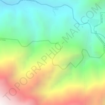
Name: Massif de la Hotte topographic map, elevation, terrain.
Average elevation: 4,259 ft
Minimum elevation: 2,110 ft
Maximum elevation: 7,431 ft