
Luíntra topographic map
Interactive map
Click on the map to display elevation.
About this map
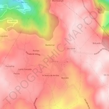
Name: Luíntra topographic map, elevation, terrain.
Location: Luíntra, Nogueira de Ramuín, Ourense, Galiza, 32160, Espanha (42.39585 -7.73937 42.42983 -7.71504)
Average elevation: 2,044 ft
Minimum elevation: 899 ft
Maximum elevation: 2,434 ft