
Igualeja topographic map
Interactive map
Click on the map to display elevation.
About this map
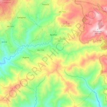
Name: Igualeja topographic map, elevation, terrain.
Location: Igualeja, Serranía de Ronda, Málaga, Andalucía, España (36.57226 -5.14789 36.65960 -5.05109)
Average elevation: 2,802 ft
Minimum elevation: 1,427 ft
Maximum elevation: 4,610 ft