
Drayton Plains topographic map
Interactive map
Click on the map to display elevation.
About this map
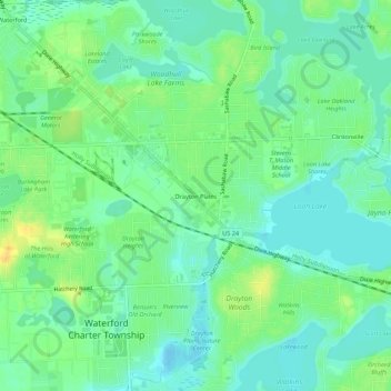
Name: Drayton Plains topographic map, elevation, terrain.
Location: Drayton Plains, Oakland County, Michigan, 48329, USA (42.66420 -83.39716 42.70420 -83.35716)
Average elevation: 968 ft
Minimum elevation: 935 ft
Maximum elevation: 1,024 ft