
Evie topographic map
Interactive map
Click on the map to display elevation.
About this map
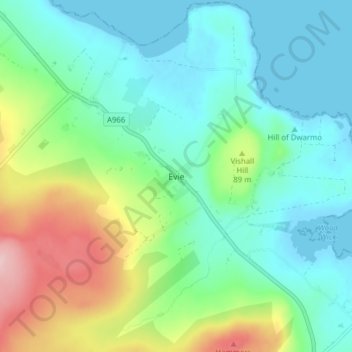
Name: Evie topographic map, elevation, terrain.
Average elevation: 174 ft
Minimum elevation: 0 ft
Maximum elevation: 633 ft
Other topographic maps
Click on a map to view its topography, its elevation and its terrain.
Kirkwall
Vereinigtes Königreich > Schottland > Orkney Islands
Kirkwall, Orkney Islands, Schottland, KW15 1DH, Vereinigtes Königreich
Average elevation: 89 ft