
Boussu-Bois topographic map
Interactive map
Click on the map to display elevation.
About this map
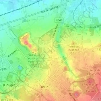
Name: Boussu-Bois topographic map, elevation, terrain.
Location: Boussu-Bois, Boussu, Mons, Hainaut, Wallonie, 7300, Belgique (50.39079 3.76298 50.43079 3.80298)
Average elevation: 223 ft
Minimum elevation: 85 ft
Maximum elevation: 417 ft
Other topographic maps
Click on a map to view its topography, its elevation and its terrain.