
Refuge des Tinderets topographic map
Interactive map
Click on the map to display elevation.
About this map
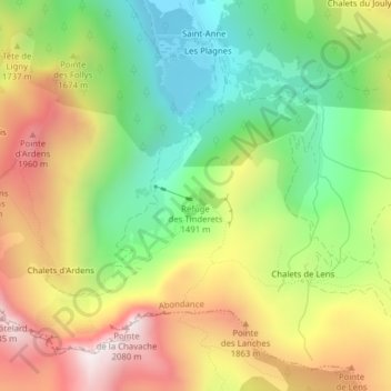
Name: Refuge des Tinderets topographic map, elevation, terrain.
Average elevation: 5,177 ft
Minimum elevation: 3,832 ft
Maximum elevation: 6,821 ft