
Karyes topographic map
Interactive map
Click on the map to display elevation.
About this map
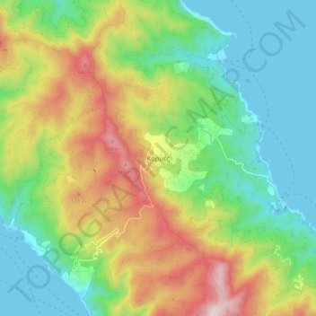
Name: Karyes topographic map, elevation, terrain.
Location: Karyes, Autonome Mönchsrepublik Heiliger Berg, Griechenland (40.21772 24.20490 40.29772 24.28490)
Average elevation: 892 ft
Minimum elevation: -7 ft
Maximum elevation: 2,493 ft