
Kamunting topographic map
Interactive map
Click on the map to display elevation.
About this map
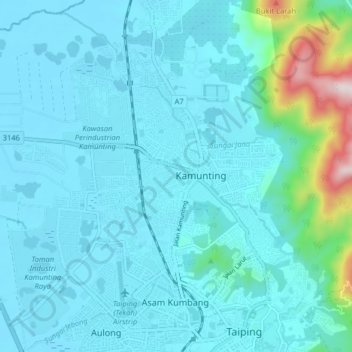
Name: Kamunting topographic map, elevation, terrain.
Location: Kamunting, Perak, 34600, Malaysia (4.84986 100.68836 4.92986 100.76836)
Average elevation: 240 ft
Minimum elevation: -7 ft
Maximum elevation: 2,100 ft