
Heisterberg topographic map
Interactive map
Click on the map to display elevation.
About this map
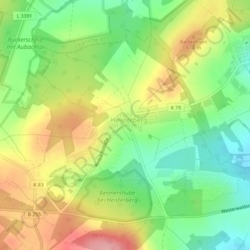
Name: Heisterberg topographic map, elevation, terrain.
Location: Heisterberg, Driedorf, Lahn-Dill-Kreis, Hessen, Duitsland (50.64817 8.13745 50.66904 8.16893)
Average elevation: 1,873 ft
Minimum elevation: 1,677 ft
Maximum elevation: 2,116 ft