
Belœil topographic map
Interactive map
Click on the map to display elevation.
About this map
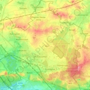
Name: Belœil topographic map, elevation, terrain.
Location: Belœil, Ath, Hainaut, Wallonia, Belgium (50.48127 3.60861 50.58170 3.76045)
Average elevation: 203 ft
Minimum elevation: 72 ft
Maximum elevation: 322 ft