
Gudur topographic map
Interactive map
Click on the map to display elevation.
About this map
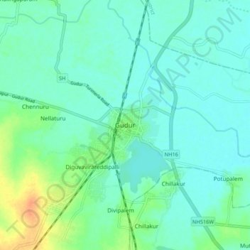
Name: Gudur topographic map, elevation, terrain.
Location: Gudur, Tirupati District, Andhra Pradesh, 524101, India (14.10950 79.80822 14.18950 79.88822)
Average elevation: 46 ft
Minimum elevation: 16 ft
Maximum elevation: 135 ft