
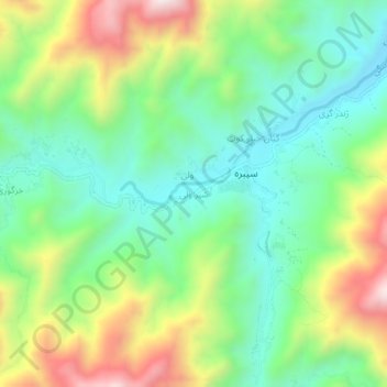
Shayr Wali topographic map
Interactive map
Click on the map to display elevation.
About this map
Name: Shayr Wali topographic map, elevation, terrain.
Location: Shayr Wali, Spera, Khost Province, Afghanistan (33.18072 69.48980 33.22072 69.52980)
Average elevation: 6,325 ft
Minimum elevation: 5,466 ft
Maximum elevation: 7,877 ft