
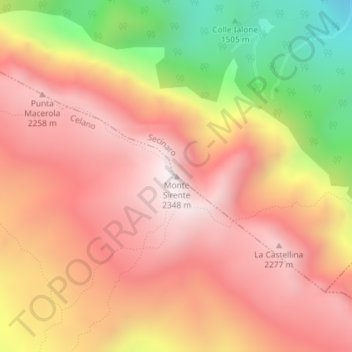
Monte Sirente topographic map
Interactive map
Click on the map to display elevation.
About this map
Name: Monte Sirente topographic map, elevation, terrain.
Location: Monte Sirente, Celano, L'Aquila, Abruzzo, Italia (42.14512 13.61096 42.14522 13.61106)
Average elevation: 6,375 ft
Minimum elevation: 4,219 ft
Maximum elevation: 7,680 ft