
Mount Trumbull Wilderness Area topographic map
Interactive map
Click on the map to display elevation.
About this map
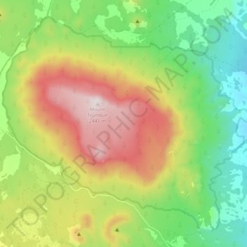
Name: Mount Trumbull Wilderness Area topographic map, elevation, terrain.
Average elevation: 6,473 ft
Minimum elevation: 5,358 ft
Maximum elevation: 8,012 ft