
Maaseik topographic map
Interactive map
Click on the map to display elevation.
About this map
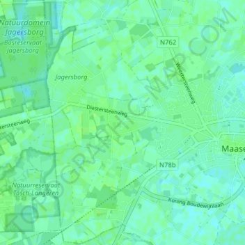
Name: Maaseik topographic map, elevation, terrain.
Location: Maaseik, Wurfeld, Maaseik, Limburg, Vlaanderen, 3680, België (51.07897 5.74160 51.11897 5.78160)
Average elevation: 105 ft
Minimum elevation: 92 ft
Maximum elevation: 118 ft