
Tajsar topographic map
Interactive map
Click on the map to display elevation.
About this map
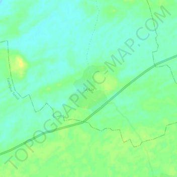
Name: Tajsar topographic map, elevation, terrain.
Average elevation: 1,070 ft
Minimum elevation: 1,040 ft
Maximum elevation: 1,109 ft
Other topographic maps
Click on a map to view its topography, its elevation and its terrain.
Sanjasar
India > Rajasthan > Ramgarh Shekhawati Tehsil > Godiya Bara
Sanjasar, Godiya Bara, Ramgarh Shekhawati Tehsil, Sikar District, Rajasthan, India
Average elevation: 1,056 ft