
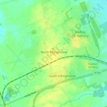
North Killingholme topographic map
Interactive map
Click on the map to display elevation.
About this map
Name: North Killingholme topographic map, elevation, terrain.
Average elevation: 33 ft
Minimum elevation: 3 ft
Maximum elevation: 66 ft
Other topographic maps
Click on a map to view its topography, its elevation and its terrain.
North Killingholme
United Kingdom > England > North Killingholme
North Killingholme, North Lincolnshire, Yorkshire and the Humber, England, DN40 3JL, United Kingdom
Average elevation: 33 ft