
Ubisa topographic map
Interactive map
Click on the map to display elevation.
About this map
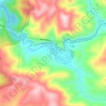
Name: Ubisa topographic map, elevation, terrain.
Location: Ubisa, Kharagauli Municipality, Imereti, Georgia (42.07825 43.20542 42.11825 43.24542)
Average elevation: 1,460 ft
Minimum elevation: 794 ft
Maximum elevation: 2,257 ft