
Inchope topographic map
Interactive map
Click on the map to display elevation.
About this map
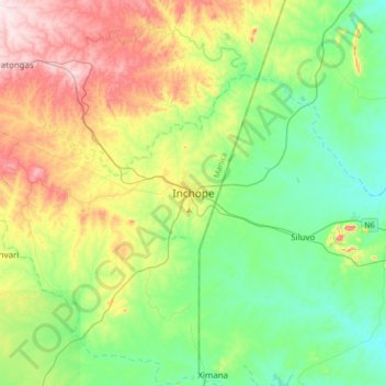
Name: Inchope topographic map, elevation, terrain.
Location: Inchope, Gondola, Manica Province, Mozambique (-19.36733 33.77293 -19.04733 34.09293)
Average elevation: 682 ft
Minimum elevation: 236 ft
Maximum elevation: 1,594 ft