
Mustabada topographic map
Interactive map
Click on the map to display elevation.
About this map
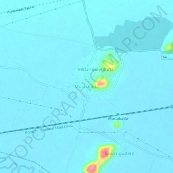
Name: Mustabada topographic map, elevation, terrain.
Location: Mustabada, Krishna, Andhra Pradesh, 521101, India (16.53358 80.70502 16.57358 80.74502)
Average elevation: 66 ft
Minimum elevation: 43 ft
Maximum elevation: 433 ft