
Kemp topographic map
Interactive map
Click on the map to display elevation.
About this map
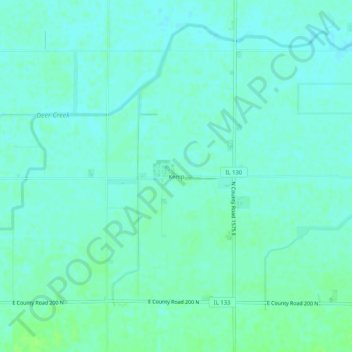
Name: Kemp topographic map, elevation, terrain.
Location: Kemp, Douglas County, Illinois, USA (39.67559 -88.20532 39.71559 -88.16532)
Average elevation: 643 ft
Minimum elevation: 630 ft
Maximum elevation: 666 ft