
Inés topographic map
Interactive map
Click on the map to display elevation.
About this map
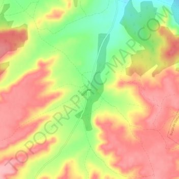
Name: Inés topographic map, elevation, terrain.
Location: Inés, San Esteban de Gormaz, Soria, Castille-et-León, Espagne (41.48350 -3.16578 41.52350 -3.12578)
Average elevation: 3,071 ft
Minimum elevation: 2,825 ft
Maximum elevation: 3,251 ft