
站前区 topographic map
Interactive map
Click on the map to display elevation.
About this map
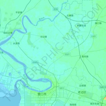
Name: 站前区 topographic map, elevation, terrain.
Location: 站前区, 营口市, 辽宁省, 115000, 中国 (40.64303 122.17865 40.91586 122.40806)
Average elevation: 10 ft
Minimum elevation: -7 ft
Maximum elevation: 82 ft
Other topographic maps
Click on a map to view its topography, its elevation and its terrain.