
Laggen topographic map
Interactive map
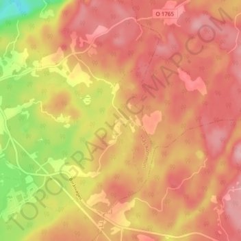
Click on the map to display elevation.
About this map
Name: Laggen topographic map, elevation, terrain.
Average elevation: 633 ft
Minimum elevation: 308 ft
Maximum elevation: 801 ft
Other topographic maps
Click on a map to view its topography, its elevation and its terrain.
Gemeinde Stenungsund
Schweden > Provinz Västra Götaland
Gemeinde Stenungsund, Provinz Västra Götaland, Schweden
Average elevation: 226 ft