
Thank you for supporting this site ❤️
Make a donation
Make a donation
Gear up for your next adventure:
As an Amazon Associate, this site earns from qualifying purchases at no extra cost to you.
Camiri topographic map
Click on the map to display elevation.
Thank you for supporting this site ❤️
Make a donation
Make a donation
Gear up for your next adventure:
As an Amazon Associate, this site earns from qualifying purchases at no extra cost to you.
About this map
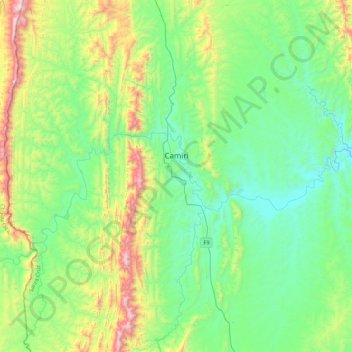
Name: Camiri topographic map, elevation, terrain.
Location: Camiri, Provincia Cordillera, Santa Cruz, Bolivia (-20.26626 -63.70078 -19.86010 -63.29498)
Average elevation: 3,284 ft
Minimum elevation: 2,228 ft
Maximum elevation: 6,348 ft
Thank you for supporting this site ❤️
Make a donation
Make a donation
Gear up for your next adventure:
As an Amazon Associate, this site earns from qualifying purchases at no extra cost to you.