
Seyrantepe topographic map
Interactive map
Click on the map to display elevation.
About this map
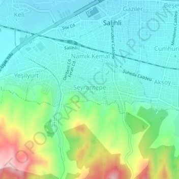
Name: Seyrantepe topographic map, elevation, terrain.
Location: Seyrantepe, Salihli, Manisa, Ege Bölgesi, Turquie (38.47366 28.12877 38.47827 28.13802)
Average elevation: 531 ft
Minimum elevation: 299 ft
Maximum elevation: 1,204 ft
Other topographic maps
Click on a map to view its topography, its elevation and its terrain.