Geolocate

Holiday topographic map

Click on the map to display elevation.

About this map
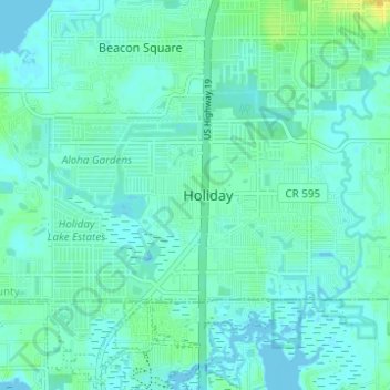
Name: Holiday topographic map, elevation, terrain.

Location: Holiday, Pasco County, Florida, United States (28.17275 -82.77340 28.20277 -82.71169)

Average elevation: 16 ft

Minimum elevation: -7 ft

Maximum elevation: 66 ft

Pasco County trails, hiking, mountain biking, running and outdoor activities

Gear up for your next adventure:

🪶LED Camping Lantern - Bright lantern for camp lighting
📡Handheld GPS Device - Reliable handheld GPS for outdoor navigation
🛌Ultralight Sleeping Bags - Compact down bags for cold nights in the wilderness
🧼Biodegradable Camping Soap - Eco‑friendly soap for outdoor hygiene
🗺️NatGeo Topo Maps - High-quality waterproof printed topographic maps of US Parks

As an Amazon Associate, this site earns from qualifying purchases at no extra cost to you.