
Morley topographic map
Interactive map
Click on the map to display elevation.
About this map
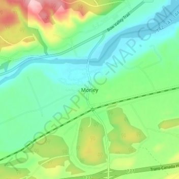
Name: Morley topographic map, elevation, terrain.
Location: Morley, Bighorn, Alberta, T0L 1N0, Canada (51.14667 -114.87000 51.18667 -114.83000)
Average elevation: 4,072 ft
Minimum elevation: 3,901 ft
Maximum elevation: 4,452 ft