
McCool topographic map
Interactive map
Click on the map to display elevation.
About this map
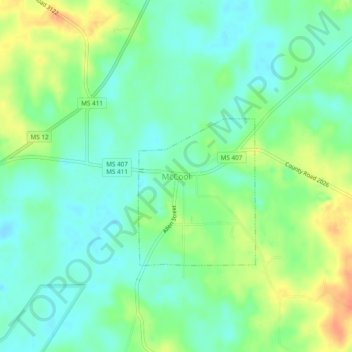
Name: McCool topographic map, elevation, terrain.
Location: McCool, Attala County, Mississippi, 39722, United States (33.18207 -89.36507 33.22207 -89.32507)
Average elevation: 453 ft
Minimum elevation: 400 ft
Maximum elevation: 538 ft