Geolocate

Yulee topographic map

Click on the map to display elevation.

About this map
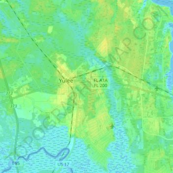
Name: Yulee topographic map, elevation, terrain.

Location: Yulee, Nassau County, Florida, United States (30.56919 -81.62261 30.68651 -81.51393)

Average elevation: 20 ft

Minimum elevation: -7 ft

Maximum elevation: 56 ft

Nassau County trails, hiking, mountain biking, running and outdoor activities

Gear up for your next adventure:

📌Outdoor GPS Map App - Apps and devices for digital topographic navigation
🎒Trail Energy Bars - High‑calorie bars for hiking energy
📱Heavy-Duty Phone Cases - Drop-proof and waterproof protection for outdoor navigation
🔥Camping Stove - Portable stove for camping and backcountry cooking
📚Navigation Handbooks - Master the art of reading topographic maps and using a compass

As an Amazon Associate, this site earns from qualifying purchases at no extra cost to you.